Arizona and Utah are amongst my favourite places on Earth.
The stunning natural beauty speaks for itself. Jaw-dropping canyons, snaking rivers, rusty red cliffs and scenic roads in every direction. It’s raw, majestic, inspiring and yet peaceful. And the best way to explore this magical land is by road.
I started this loop-style road trip in Phoenix, Arizona. This has a major international airport and flights are relatively affordable (check out latest flight prices on Skyscanner). But you could alternatively start the route in Las Vegas, Nevada however I feel that the bright lights and energy of that city would tend to detract from the tranquil and nature-centric vibe of this road trip. If you follow my route and do all the hiking (make sure you have proper gear for the hikes you'll be doing and the seasonal conditions at the time), you’ll probably be pretty tired after this trip and the last thing you’ll want is bright flashing lights in your face. But hey, that’s your call.
The advantage of the same starting and end point is that rental cars are usually cheaper, avoiding a 1-way fee (check out latest car rental prices).
I’ve packed this article with links to Google Maps so you can find each location easily, and follow in my footsteps. I’ve done all the hard work for you – route planning, activities, hikes, hiking tours, food and accommodation. All you have to do is enjoy it!
Did you know: The region surrounding my road trip is dubbed “Grand Circle” and contains America’s largest concentration of national parks and monuments.
Tip: A lot of national parks and national monuments are included in this itinerary, so I recommend picking up an National Parks Annual Pass to save money. However, keep in mind most State Parks don’t accept this annual pass.
Tip: Bring good quality hiking boots – the terrain on this trip can be rough. I choose Dunham Simon which are durable, waterproof and also available in my whopping shoe size – 15!
Tip: The weather in the desert can fluctuate greatly between summer and winter – with scorching summer days above 100°F (38°C) and dropping down to 10°F (-12°C) at night in winter. The altitude in locations like Bryce Canyon, UT causes notably cooler temps than lower elevations like Sedona, AZ. I travelled in early December and just missed the start of snow season, but still experienced dry, bone-chilling temperatures. Bring suitably warm jackets, gloves, beanies, neck gaiter and socks such as those found on Addnature.
Day 1
Phoenix to Page, AZ
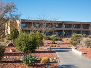
Accommodation: Lake Powell Resort (check prices in area…)
Distance: 608 kms (378.4 miles)
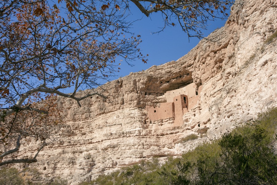
I planned a lot of driving today, starting late morning, driving north out of Phoenix along Interstate 17. The first port of call was Montezuma Castle National Monument. This abandoned limestone cliff dwelling is over 800 years old, and was occupied by Sinagua native Americans. Of particular significance, this location was one of the first National Monuments, protected by President Theodore Roosevelt in 1906. A 1-hour stroll around the easy paved path and visitors centre was plenty of time.
After a picnic lunch I continued north to the South Rim of the Grand Canyon. There’s no shortage of lookouts here, but I chose Yavapai Point as one of the best for stellar sunsets.

As the sky darkened I drove east out of the park and spotted a deer crossing the road, so drive carefully! After 2.5 hours I pulled into Page, Arizona and grabbed a quick bite to eat before checking into Lake Powell Resort.

Lunch recommendation: bring your own sandwiches or picnic to Montezuma Castle – there’s a couple shady benches near the parking lot.
Dinner recommendation: 48 Tavern in Page. The décor isn’t inspiring but the food is pretty decent.
Day 2
Page, AZ
Accommodation: Lake Powell Resort (check prices in area…)
Distance: 70 kms (43.6 miles)
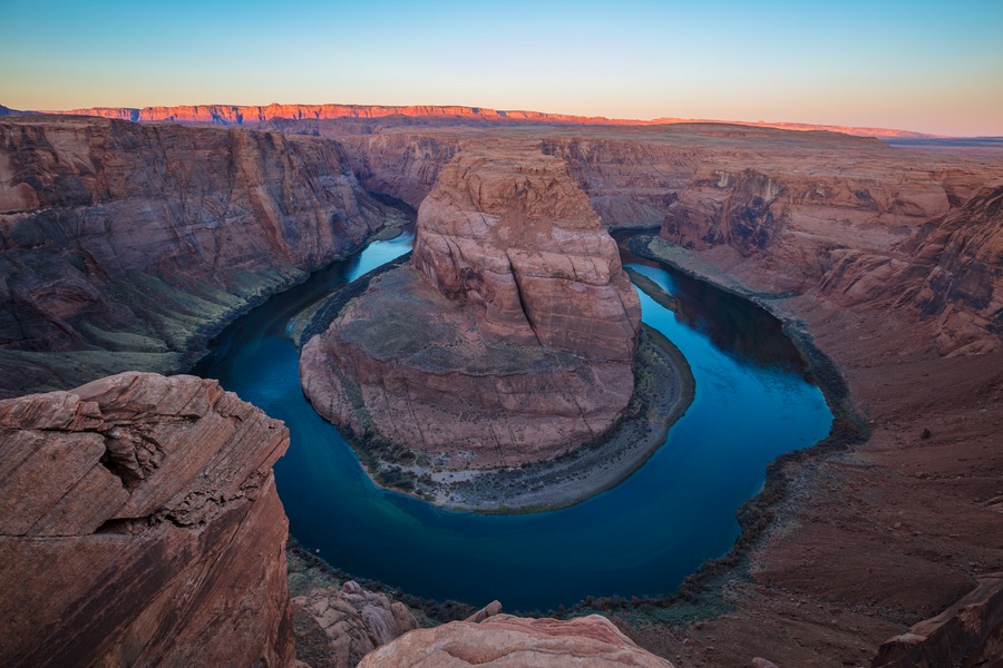
No rest for the wicked! This morning I woke up early and drove 20 minutes south to Horseshoe Bend to watch the sunrise. Hands down, definitely one of the best sunrises I’ve ever witnessed.
There’s a 1-mile hike from the carpark to the lookout, so allow enough time for that.
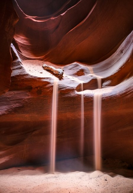
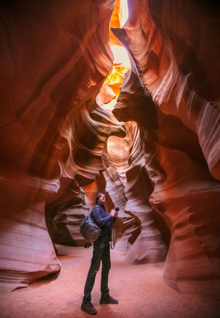
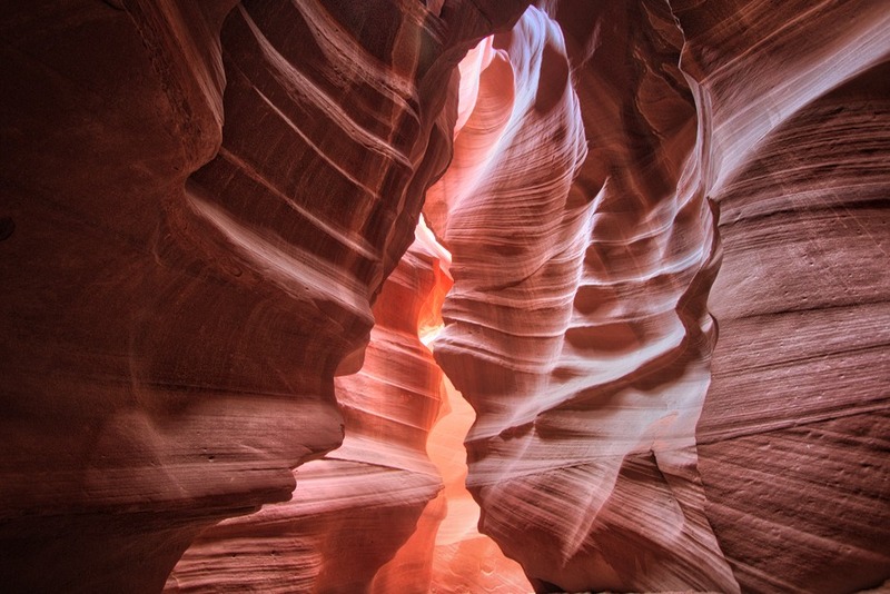
I stopped at the supermarket in Page for a simple takeaway breakfast, water top-up and sandwiches for lunch later. Next was check-in for the Upper Antelope Canyon photography tour at the aptly named Antelope Canyon Tours across the road. It’s not a cheap tour but on the “regular” tour (which I took last time I was here several years ago) you’re not allowed to bring a tripod. I wasn’t going to make that mistake this time! If you visit in summer, aim for the tour that takes place around the middle of the day if you want to capture the iconic light shafts in the canyon. My guide, Sunny, was fantastic. In addition to his explanation of the slot canyon’s geology, he walked the tour group into “rooms” that looked best based on the time of day. He said every 20 minutes the lighting changes as the sun rises higher. He was kind enough to recommend angles and threw sand onto rocks to create an amazing waterfall effect.
After being dropped off back in Page, I drove out to Lower Antelope Canyon to take another photography tour with Ken’s Tours. This one is a bit cheaper as it’s not as popular as Upper Antelope Canyon and requires a bit more physical exertion. This slot canyon was just as beautiful, if not more so. But the final steps up out of the canyon at the end of the tour were a lung buster. I think the altitude finally caught up with me.

Tip: If you do 2 tours in the same day, hold onto your receipt so you don’t have to pay the Navajo park entry fee twice. And make sure you wear suitable footwear.
Tip: Both of these canyons can only be explored with a local tour guide.
Next, I drove back to the resort for lunch at Wind Café and a quick rest before returning to Horseshoe Bend for a spellbinding sunset.

Dinner recommendation: Driftwood Lounge at Lake Powell Resort.
Day 3
Page, AZ to Monument Valley
Accommodation: The View Hotel (check prices in area…)
Distance: 284 kms (176.8 miles)
After breakfast at the resort and a quick stroll around the resort complex, I drove east for 1.75 hours reaching Navajo National Monument. Entry is free and a 1-mile round trip hike to the main lookout point was very worthwhile. I also suggest watching the introduction movie in the visitors centre.

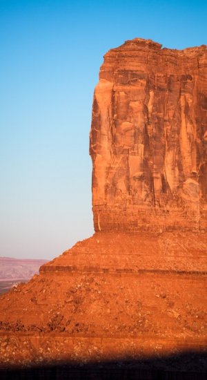
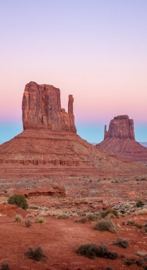
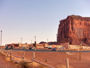
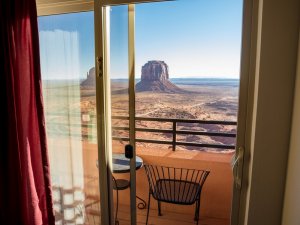
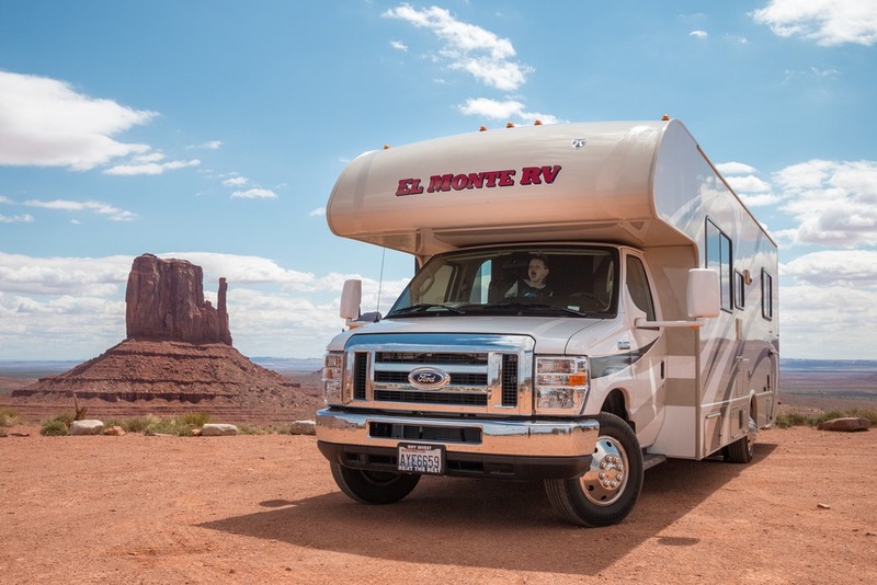
Continuing east for about an hour, I checked into The View Hotel just in time to catch the sunset over Monument Valley. As far as I’m concerned this is the crowning jewel of this road trip. Nothing compares.
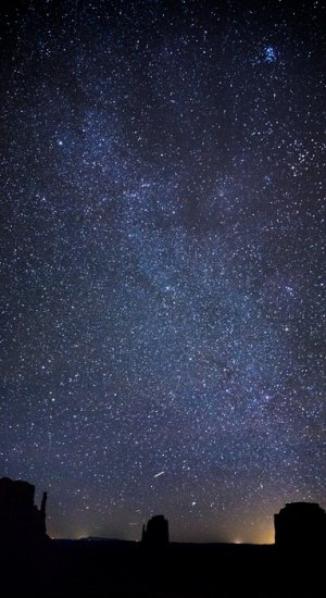
Later that night after dinner, I came back out to the hotel carpark to capture the brilliant Milky Way.
Tip: There’s a $20 entry fee per vehicle as Monument Valley is a Navajo Tribal Park.
Lunch recommendation: pick up a takeaway lunch from the supermarket in Page so you can drive and eat. There’s not a lot out here in the desert.
Dinner recommendation: The View Restaurant – it’s pretty much the only option in Monument Valley. Try the Navajo Taco or Green Hatch Chilli Stew.
Day 4
Monument Valley to Moab, UT
Accommodation: Best Western Plus Greenwell Inn (check prices in area…)
Distance: 249 kms (154.8 miles)
I woke up before the crack of dawn to photograph The Mittens. Utterly amazing!
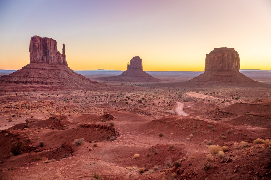
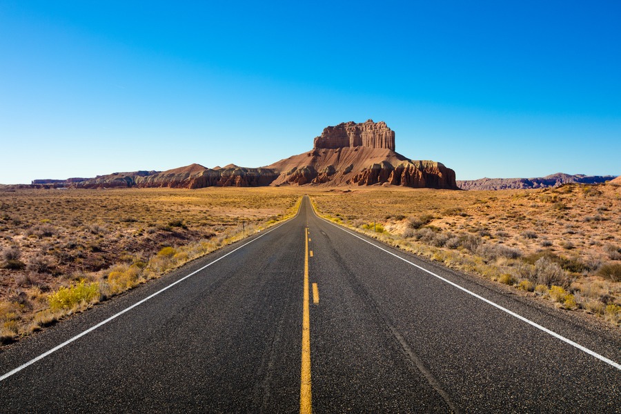
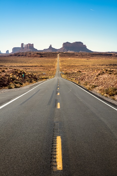
Breakfast at The View Restaurant was straightforward, but the views over Monument Valley captivated my attention. That scene is forever etched in my mind. I picked up a map from the hotel front desk and took a self-guided driving tour along the Valley Road of Monument Valley for about 3 hours, stopping at the signed rock formations. Eventually I was sad to say goodbye, but continued north along highway 163. About 12 minutes from the hotel, I jumped out of the car to photograph this iconic stretch of asphalt. It’s like a postcard.
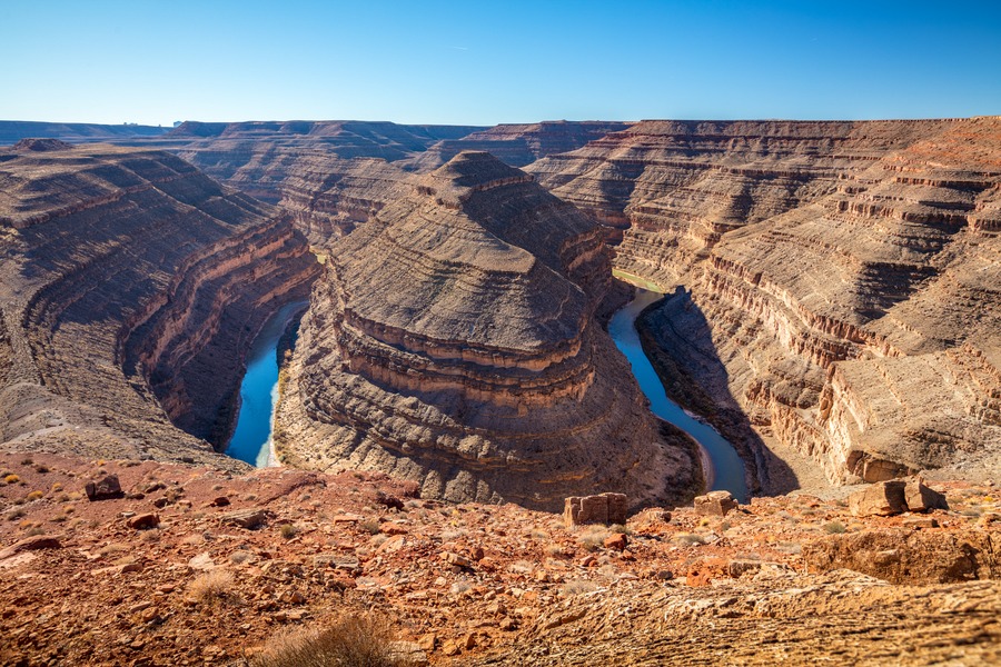
The next stop, half an hour later, was the little known Goosenecks State Park. Entry is only $5 per car, but the view of the double bend in the San Juan River is priceless. I stayed here about 30 minutes drinking in that view.
The cruisy drive north to Moab took just over 2 hours and I stopped in Bluff for lunch. After the last 3 days of jam-packed exploring and early mornings, this was a much-needed day of recuperation and I was happy to see that comfy hotel bed.
Safety Tip: Regularly letting friends or family back home know that you’re ok while on a road trip is a very smart idea. A brand new service from Tep Wireless called Kitestring makes this completely effortless. The customisable service will send you an SMS to check in on you, and if you don’t respond within a given time, it will automatically notify your pre-configured contacts. Its free for up to 10 texts, and only £2/mo above that. A very small cost for peace of mind.
Lunch recommendation: Twin Rocks Cafe in Bluff, UT. There’s not a lot of dining options out here in the middle of nowhere.
Dinner recommendation: There’s no shortage of restaurants in Moab. Zax Restaurant is almost across the road from the hotel and the all-you-can-eat pizza cures all ails. Well, that’s what I tell myself.
Location tip: If you enjoy getting off-road, have a look at these ideas for mountain bike trails in Moab. You'll find a range of trails from beginner to advanced.
Day 5
Moab, UT
Accommodation: Best Western Plus Greenwell Inn (check prices in area…)
Distance: less than 50 kms
I took it easy in the morning, making use of the hotel’s hot tub. After lunch it was time for one of the Mighty 5… Arches National Park. Located just 5 minutes’ drive north of Moab, this is one of my favourite US national parks. I stopped at the visitors centre before continuing to formations like Courthouse Towers and Balanced Rock before taking the 3-mile (4.8km) roundtrip hike to Delicate Arch, reaching it just in time for sunset.
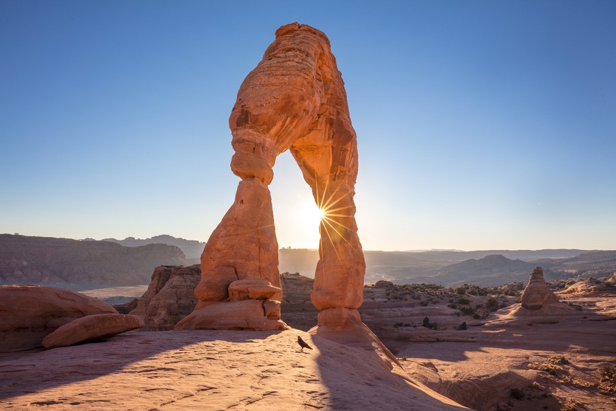
Once the stars came out, I climbed up Double Arch to capture this image. It’s one of my favourite moments in almost 6 years of travelling the globe. This evening was completely silent, there was no wind, no animal noises, no rustling trees. Just pure silence.

Gear Tip: The secret to amazing night shots is a sturdy yet easy-to-carry tripod. I use the Vanguard VEO 2 235CB.
Lunch recommendation: The Spoke on Center in Moab hasdelicious gourmet burgers, shakes, and funky bicycle-themed décor.
On the way back to the hotel I stopped at the supermarket in Moab to pick up breakfast burritos and sandwiches for the following day.
Day 6
Moab, UT
Accommodation: Best Western Plus Greenwell Inn (check prices in area…)
Distance: 217 kms (135 miles)
While it was still dark, I drove out to Canyonlands National Park for 50 minutes to witness the sunrise through Mesa Arch. This was pure magic. The golden hues reflecting on the inside of the arch were so vivid, it looked like a painting come to life.

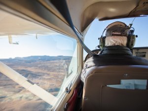
I drove 45 minutes north to the Canyonlands Field Airport for a scenic flight by Moab Adventure Centre over Canyonlands National Park. My pilot, Larry, worked for the National Parks service for 37 years, with the last 7 years as chief ranger at Canyonlands. So this guy knew his stuff! And he was hilarious to boot. He flew over areas that were so remote less than 3% of visitors to Canyonlands will ever see it – including The Needles and The Maze. The highlight was seeing Angel Arch, towering 300 feet, which would typically require a 16-mile hike (each way) to access on foot. This scenic flight is the best way to witness beautiful, remote landscapes, and to fully appreciate the huge scale of this park.
As an alternative to the flight, you could explore Island In The Sky within Canyonlands by road. While in the “neighbourhood” I explored Dead Horse Point State Park ($15 entry per car) for about an hour and enjoyed a picnic lunch at tables near Basin Overlook parking lot.

The rest of the afternoon was spent in the hotel hot tub and having an afternoon nap, catching up on the lack of sleep from the early mornings.
Lunch recommendation: If you make it back to Moab in time, Eklecticafe is delicious!
Dinner recommendation: Pasta Jay’s in Moab is a tasty low-key Italian restaurantand is walking distance from the hotel. And after all that hiking, the carbs sure hit the spot.
Day 7
Moab to Torrey, UT
Accommodation: The Noor Hotel (check prices in area…)
Distance: 385 kms (239.6 miles)
Driving about 1.5 hours east, I arrived at Goblin Valley State Park ($13 entry per car). Here are 3 valleys of hoodoos – rock pillars worn by erosion. The first valley is easily accessible via car, and the two others require a more vigorous hike. So I opted for valley #1, spending a total of 1.5 hours here before taking scenic byway 24 to the next town, Torrey. If you want to hang around longer, Goblin Valley is known to have the darkest skies in the continental USA making it an astrophotography or astronomy lover’s paradise.

Between Hanksville and Fruita there were countless rock formations that had me pulling the car over again and again. Varying colours and contours spoke of the dance between tectonic forces and erosion over millennia.
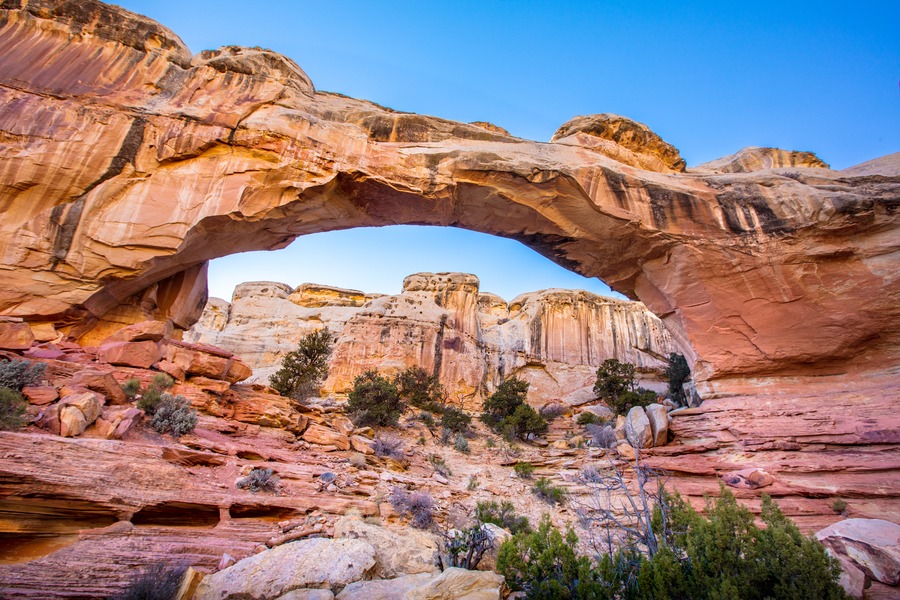
Just before reaching Fruita I stopped on the north side of the highway to hike the Hickman Bridge Trail located within Capitol Reef National Park. Even though it’s relatively short in length at 1.7 miles, there’s a 426 foot elevation gain classifying it as a “moderate” trail. It took me about 1.5 hours which included time for photography.
Safety Tip: Hiking with friends and family in remote areas has its risks. I use goTenna Mesh to transform my phone into an advanced walkie-talkie. This clever gadget creates its own “mesh” network, without relying on phone networks so it works everywhere. Save 25% on your own goTenna Mesh with my unique coupon code BENDER25. Read my review for more details…

Dinner recommendation: I wish I brought my own dinner as I went to bed hungry that night. The few restaurants in the area were closed as I was travelling off-season.
Day 8
Torrey to Escalante, UT
Accommodation: Escalante Cabins & RV Park (check prices in area…)
Distance: 131 kms (82 miles)
This day didn’t go as planned. I had anticipated exploring Zebra Slot Canyon Trail but realised I forgot my passport at the hotel back in Moab! Ugh. That was most of the day gone down the drain. But if you have a chance, I suggest checking out this slot canyon that is on par with Antelope Canyon in terms of natural beauty, but much less trafficked. It requires just over 2 hours of hiking with 400 feet of elevation gain, so it’s not for the faint of heart.
Day 9
Escalante to Bryce, UT
Accommodation: Best Western PLUS Bryce Grand Hotel (check prices in area…)
Distance: 138 kms (86.1 miles)
After breakfast in the cabin, I drove less than 1 hour west along highway 12 to Bryce. After checking into the hotel and dropping off bags, I took a preliminary drive through Bryce Canyon National Park. I stopped at the lookout points around Bryce Amphitheatre (Bryce Point, Inspiration Point, Sunrise Point) for about an hour.
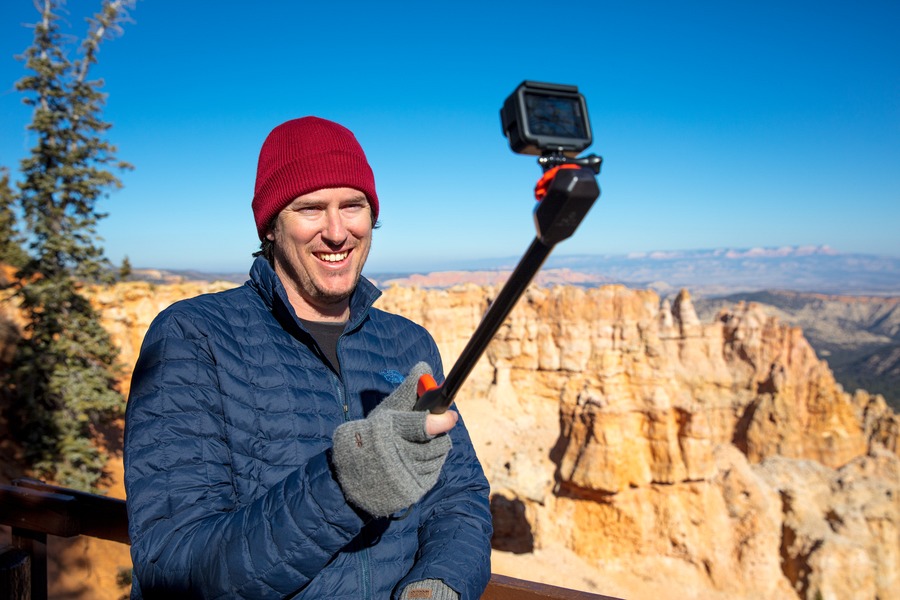
I drove back into the town of Bryce for a lunch break, then returned to the national park to complete the 19-mile drive to Rainbow Point over the course of 2 hours, stopping frequently along the way. As I was visiting in winter, the cold, biting wind made long stops a little uncomfortable so I limited my time at Bryce Canyon.
After a short rest (and warming up) at the hotel, I made my 3rd visit to the national park that day to watch the sunset at Sunset Point.
Lunch & Dinner recommendation: As it was off-season, a few of the restaurants in Bryce were closed so I had 2 meals at the restaurant in Best Western Plus Ruby’s Inn (not to be confused with the other Best Western property I was staying it). Food quality was pretty decent.
Day 10
Bryce to Springdale, UT
Accommodation: La Quinta, Springdale (check prices in area…)
Distance: 214 kms (133 miles)
After breakfast at the hotel, I left at 7am for the 1 hour 20 minute drive to the BLM Kanab Visitor Centre. Every weekday at 8:30am, The Wave lottery is held. Only 20 permits are issued per day, 10 of them online and the other 10 are a random draw from visitors who attend this lottery. 54 people turned up and I was one of the lucky winners! The permit was valid for the following day, so I hit the road again and drove 30 minutes to Coral Pink Sand Dunes State Park ($8 entry per car). This place was beautiful! I tried sliding down a dune on a cardboard box which was a total fail, so I suggest renting a sled from the ranger at the entry for $25.

Even though I’d have to return to The Wave (east of Kanab) the following day, I headed to the south entrance of Zion National Park, a 1 hour drive west, stopping for lunch along the way at Mt Carmel Junction. The scenery along highway 9 was spellbinding, and I was compelled to stop the car at least half a dozen times to capture the landscapes.

I was lucky that the bus system was down for maintenance – usually it’s the only way to explore the park (aside from long hikes). So cars were allowed to traverse the scenic drive. My favourite location was this little pull-off, with a brilliant view of Great White Throne and Angels Landing. If you want a casual experience with little planning, just stop at each bus stop along the route. But if you want to hike, then most trails are lengthy (over 1 hour) and require decent planning. Only attempt the strenuous hikes if you're experienced.

Once I was worn out from hiking, I retreated to Springdale for dinner.
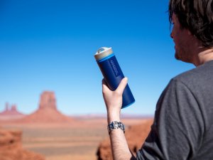
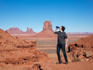
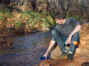
Safety Tip: There’s not a lot of easily accessible drinkable water in the desert. If your car breaks down or you get lost on a hike, this revolutionary new filter could save your life. The Grayl is a simple, safe way to convert any fresh water source into pure, clean water in 15 seconds.
Lunch recommendation: Thunderbird Café in Mt Carmel Junction. It’s pretty much the only place for food between Kanab and Springdale, but the American diner cuisine is pretty good.
Dinner recommendation: Jack's Sports Grill in Springdale - excellent food and a vibrant sport-themed décor.
Day 11
Springdale to St George
Accommodation: Red Mountain Resort (check prices in area…)
Distance: 358 kms (223 miles)
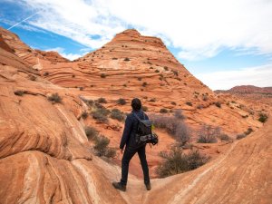
The big day finally arrived. At the crack of dawn I drove 2.5 hours east to The Wave trailhead. The last portion of the road (leaving highway 89) was all dirt and very bumpy which meant slow going. The hike is a 6-mile (9.7kms) round trip in open desert without any signage or established trail path. Hikers have died out here and it’s very easy to take the wrong turn if you’re not following the map (provided by the BLM visitor centre the previous day). It’s possible to follow Google Maps but also a bit risky as there’s no cell coverage out there and the iron deposits in the rock can mess with compasses.
Regardless, The Wave was absolutely beautiful. Everything I was hoping it would be. A landscape lover’s dream come true. If I had more time I would recommend going a little further to other rock formations: The Second Wave, Melody Arch and The Big Mac.
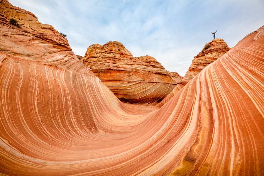

If you’re not lucky enough to win a permit, I suggest staying another day around Zion National Park and exploring that further.
As the sun set I drove 2.5 hours to the resort at St George.
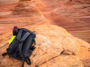
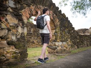
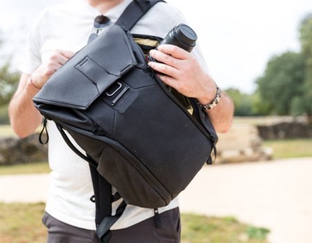
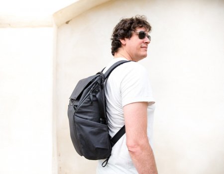
Gear Tip: I use the versatile Peak Design Everyday Backpack to carry camera gear, clothing and water. It’s a flexible day bag that looks stylish too. Read my full product review.
Lunch recommendation: If you’re hiking The Wave, bring your own food and at least 4 litres of water (per person).
Day 12
St George
Accommodation: Red Mountain Resort (check prices in area…)
Distance: 80 kms (50 miles)
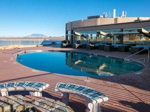
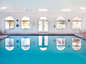
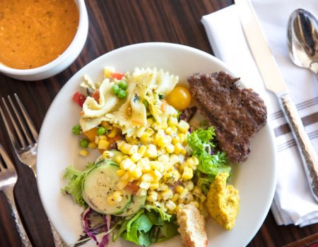
Breakfast at Red Mountain Resort was delicious. The food here is so fresh and healthy, you can’t help but feel better for eating it. I spent the morning relaxing in the resort, making use of the pool and facilities. After such a strenuous hike, physically and mentally, the previous day, I needed half a day to recuperate.
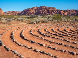
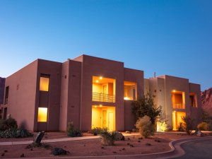
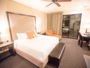
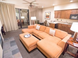
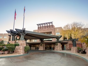
Red Mountain Resort is a quiet, peaceful retreat focused on health and wellness. Calming desert scenery, self-improvement activities, and healthy food. Everything your body and mind needs at the end of this road trip.

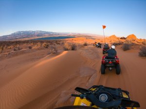
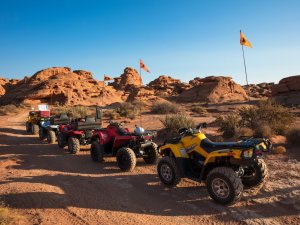
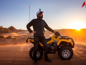
After lunch at the resort, I drove out to Sand Hollow State Park to take an adrenaline-packed tour with ATV & Jeep Adventure Tours. This is the best way to experience a state park that I consider even more beautiful than its neighbouring Zion National Park. I took the half-day “Sunset Adventure” tour so I could watch the golden sunset over the rolling sand dunes. One of the most beautiful scenes in the entire US!

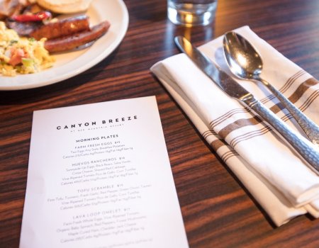
By the end of the day, I was ready for a hearty dinner at Red Mountain Resort’s Canyon Breeze Restaurant before collapsing into bed.
Day 13
St George, UT to Sedona, AZ
Accommodation: Hilton Sedona Resort at Bell Rock (check prices in area…)
Distance: 487 kms (303 miles)
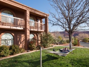
After breakfast at Canyon Breeze Restaurant, I spent another hour chilling in a hammock at the resort unwinding my mind for the long day ahead. The drive to Sedona took 5 hours and 20 minutes. There wasn’t a lot of exciting eateries along the way so I suggest bringing your own packed lunch or picking up something in St George on the way out of town. The US has so many adorable small towns to visit, so if you have time, have a pitstop in Flagstaff, AZ.
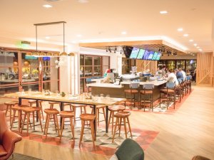
Once I reached the resort in Sedona I put up my feet and had dinner in the newly revamped hotel restaurant, The ShadowRock Tap + Table.
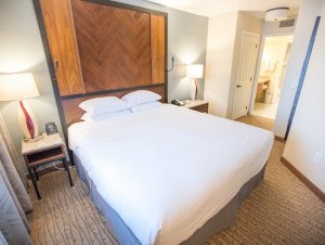
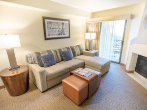
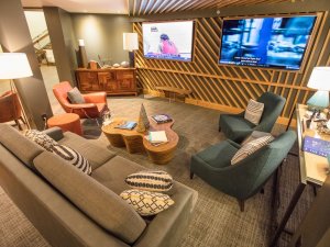
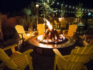
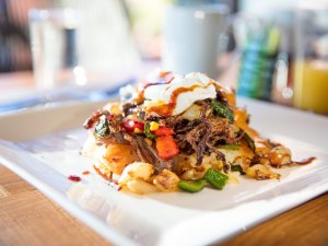
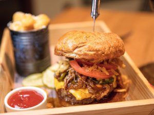
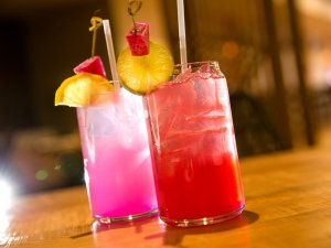
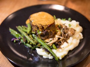
Dinner recommendation: The recent $2 million renovation at The ShadowRock sets the Hilton head and shoulders above the competition in Sedona. There’s plenty of cosy nooks to create intimate settings, beautiful outdoor water features and outdoor fire pits. I found attention to detail at every turn – the carpet looks like a river bed, wood details in the furniture, cabinets have rustic burnt trims and more. And the food is out of this world! Executive Chef Jason Flores has made his mark with flair and passion, elevating familiar fare with sophisticated flavours and clever techniques. His love of food is palatable, making the dining experience utterly unforgettable.
Day 14
Sedona, AZ
Accommodation: Hilton Sedona Resort at Bell Rock (check prices in area…)
Distance: less than 50 kms
After a mesmerising breakfast at ShadowRock, I took an iconic Pink Jeep tour to explore the hard-to-reach places around Sedona. They have a few routes available, but I chose the Broken Arrow tour. My driver and guide, Scott, was very humorous and held more information than an encyclopaedia. I was also fond of Scott’s straight shooter panache – he said it like it was. We stopped at 2 panoramic lookouts (“chicken point” and “submarine”).
Tip: If you prefer a bumpier ride, sit further in the back or for a smoother ride (if that’s actually possible), the front seat is better.
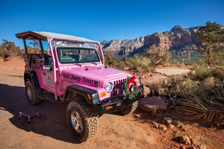
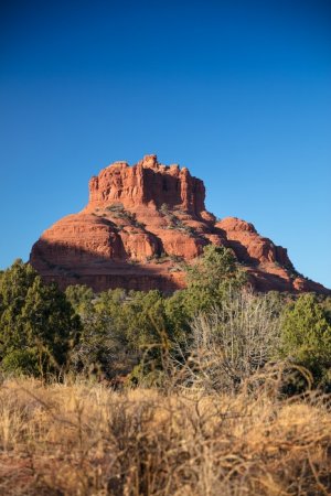
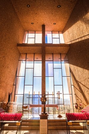
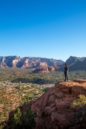
I was in love with ShadowRock and returned there for lunch, followed by a self-guided driving tour around Sedona. The stops included: Bell Rock lookout, Chapel of the Holy Cross, downtown (for a little shopping, with free parking here), Sedona Airport Vortex, and another view of Bell Rock at sunset. Sedona is thought to have 4 popular locations that contain swirling centres of energy coming into and out of the earth. While vortex energy hasn’t been scientifically proven, I could sense something at Airport Vortex when I placed my hand on the rock. It felt like a gentle vibration and an electric current running up my arm, and a slightly elevated sense of peace. I’m told the experience is different for each person – often the results are uplifting, inspiring, or healing. While I can’t put my finger on it, I can see why thousands of tourists are drawn to Sedona every year.
Back at the resort I enjoyed a massage at Eforea Spa. Featuring beautiful décor with very relaxing tones and colours, my mind and body slipped into a state of total relaxation. My tired muscles relished the steam room and Jacuzzi. This is exactly what I needed after an adventure-packed two-week road trip through Arizona and Utah.
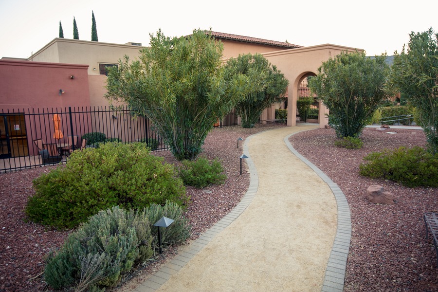
After breakfast at the resort, the final drive back to Phoenix took 2 hours. Make sure you leave plenty of time to return your rental car before your outbound flight.
All good things must come to an end, and I was sad to wrap up this adventure. As Dr Seuss said “Don’t cry because it’s over, smile because it happened.”
Lunch recommendation: if you have enough time before getting to the airport, I suggest a detour to Barrio Queen in Gilbert for delicious street-inspired Mexican food.
Ninja Road Trip Tips: All I can say is these lessons were learned the hard way. You’ll be wise to heed these suggestions:
- Bring plenty of water (large gallon bottles/jugs) and keep it in the car. Top up your water bottles from that.
- Use chap stick and hand lotion daily. Even though I travelled in winter, my lips started to peel after a few days due to the dry desert air and high altitude. Prevention is the best medicine.
- If you have 2 phones (travelling in a group/family), set your Google Map route on both phones in case one goes flat or the app crashes - there's little cell coverage outside large towns. Google Maps also supports downloading offline maps – these are your friends.
- Due to the remoteness, finding places to eat can be tricky along parts of this road trip route, so bring along a hefty selection of non-refrigerated snacks and easy-to-eat meals.
I hope my Arizona & Utah road trip has inspired you to set out on your own adventure. Get out there and enjoy the wonders nature has to offer! Go ahead and share your experiences in the comments below. What’s places in Arizona and Utah do you want to see the most?
Road Trip Tally
Total Days: 15
Total Distance: 2,911 kms (1,809 miles)
Total Driving Time: 35 hrs (not including exploring national parks)
Total Flat Tyres: 0
Total Minds Blown: 1







Reader Comments...
"I respond to every comment by direct private email. I look forward to your feedback" - Josh BenderThis is so full of information, I can't even take it all in. What an amazing and dream trip (I'm dying to go to Utah, now might as well add in AZ!) Thanks for the info, I'm saving this one for sure!
Wow this is a really impressive, through and practical summary. I really hope it gets noticed and appreciated as widely as possible! I'm sure it was so much work and time to put it all together. Do you repackage or repurpose any of your material?
I love this post, I'm planning my trip and this is so helpful. Can you name your photos with the exact names of the locations. It's hard to tell where each site is located. Thanks!
As I'm planning my own trip at the moment I want to take a short moment and say Thank You for this fantastic guide!
Awesome post, I love your photos! Definitely, I'm looking for a destination for my long trip next year. =)
excursioniledespins
I live in St. George, Utah, and have to admit, the Four Corners region of the U. S. is incredibly beautiful. The state and federal parks in the four states contain some of the most extraordinary geographical formations in the world. I've lived in nearly every part of this country (I was born and raised in the state of Maine) and can speak with some authority. I love day-tripping in this area.
Amazing! Very informative.
Write Your Comment
Please DO NOT include links, URLs or HTML in your comments - they will be automated deleted and you will waste your time.